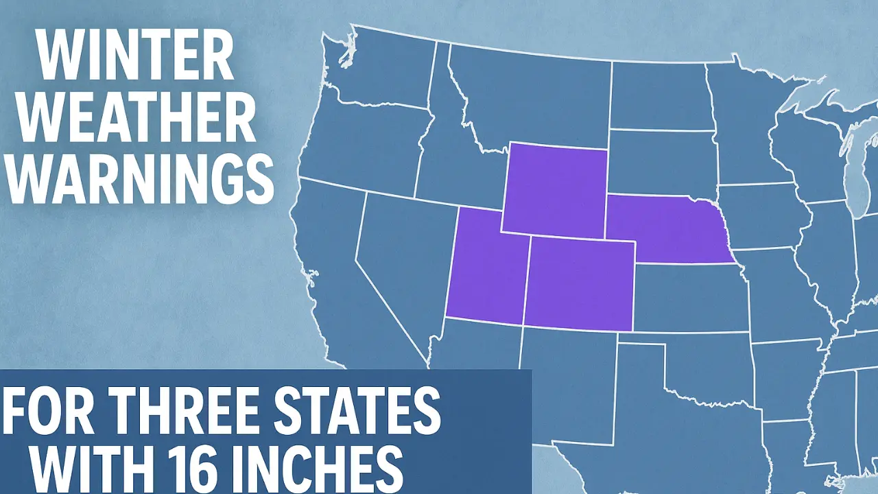
A major winter storm system is moving across the Far North, Northwest, and Mountain West regions of the United States this week, bringing with it the threat of up to 16 inches of snow and dangerously strong winds. The National Weather Service (NWS) has issued winter weather warnings for Alaska, Washington, and Wyoming, where heavy snow, blowing winds, and reduced visibility are expected from Wednesday night through Friday morning.
The storm, fueled by a strong low-pressure system and Arctic air, is set to create hazardous travel conditions, impact infrastructure, and pose safety risks for residents and travelers. Forecasters are urging everyone in affected areas to prepare for severe winter conditions, especially in higher elevations and mountain passes.
Why It Matters
The forecasted snow is expected to create dangerous driving conditions and travel disruptions across large portions of the northern United States.
According to meteorologists, the combination of gusty winds up to 40 mph, rapidly accumulating snow, and subfreezing temperatures will lead to reduced visibility, whiteout conditions, and icy roads, particularly along major highways and mountain routes.
Authorities warn that road closures and flight cancellations are likely as the storm intensifies, especially in mountain corridors like Washington Pass, Thompson Pass, and Teton Pass. The NWS has cautioned that travel “will be difficult to impossible” during the height of the storm.
Areas Affected and Expected Snowfall
The three states under warning — Alaska, Washington, and Wyoming — will each experience significant snowfall, though totals vary depending on elevation and location.
| State | Key Impact Zones | Expected Snowfall | Wind Speed | Travel Impact |
|---|---|---|---|---|
| Alaska | Thompson Pass, Valdez region | 8–9 inches (Wed night–Thu evening) | Up to 40 mph | Whiteouts, slippery roads, icy surfaces |
| Washington | Cascades (Whatcom, Skagit counties, Washington Pass, Mount Baker) | 12–16 inches above 4,000 ft; up to 24–30 inches in high elevations | 35–45 mph | Highway 20 closures likely, dangerous commutes |
| Wyoming | Teton and Gros Ventre Mountains, Togwotee Pass | 4–8 inches generally; up to 12 inches at highest peaks | Up to 40 mph | Difficult travel, drifting snow, reduced visibility |
Alaska: Thompson Pass Under Siege
In Alaska, Thompson Pass — one of the snowiest locations in North America — is bracing for another intense winter blast. Between Wednesday night and Thursday evening, snowfall is expected to reach up to 9 inches, with winds peaking at 40 mph early Thursday afternoon.
The NWS has issued a Winter Storm Warning for the region, cautioning that blowing snow will reduce visibility to half a mile or less, especially during the Thursday morning and evening commutes.
Residents are being urged to avoid travel unless absolutely necessary, as “surfaces could be icy and slippery, increasing your risk of a fall and injury.”
For communities near Valdez and surrounding areas, the combination of snow and wind will create treacherous conditions. Power outages are also possible due to falling branches and heavy, wet snow weighing on lines.
Washington: Cascades to be Buried
Washington State is expected to see the heaviest snowfall in this storm system, particularly across the Cascade Mountains in Whatcom and Skagit counties. The Washington Pass area will see 12–16 inches of snow through Friday morning, while Mount Baker could record up to 24 inches — and possibly nearly 3 feet at the highest elevations.
The heaviest snowfall will occur overnight on Wednesday and Thursday, with some areas seeing one inch of snow per hour during peak intensity.
Drivers are warned that travel along Highway 20 west of the Washington Pass will be “difficult to impossible,” with avalanche risks increasing as snow accumulates rapidly.
State crews are working around the clock to keep major corridors open, but drifting snow and high winds may temporarily close routes. The Spokane and Seattle metro areas could also see several inches of accumulation, impacting urban commutes.
Wyoming: Teton and Gros Ventre Mountains
In Wyoming, heavy snow is expected to hit the Teton and Gros Ventre Mountains, as well as the Yellowstone region, starting Wednesday night and continuing into Thursday afternoon.
Forecast models predict 4 to 8 inches of snow in most mountain zones and up to 12 inches in the highest parts of the Teton Range.
Wind gusts reaching 40 mph will make travel difficult along Teton and Togwotee Passes, where visibility will likely drop below one mile.
The Wyoming Department of Transportation has urged residents to check road conditions before traveling, carry emergency winter kits, and delay nonessential travel until conditions improve.
Timing and Storm Progression
The system will unfold in several stages:
-
Wednesday Evening: Snow begins in Washington’s high country and Alaska’s interior as cold air deepens.
-
Thursday Morning: Snow spreads across Alaska and the Pacific Northwest; Thompson Pass and Washington Pass see rapid accumulation.
-
Thursday Afternoon: Winds strengthen, causing drifting snow and whiteouts.
-
Thursday Night: The heaviest snow hits Washington’s Cascades and Wyoming’s mountains.
-
Friday Morning: The system gradually weakens, with lingering snow showers and frigid air settling in behind it.
Travel and Transportation Disruptions
Drivers should prepare for significant travel disruptions throughout the storm’s duration.
-
Highways at Risk: Washington Pass (WA), Thompson Pass (AK), and Teton Pass (WY) may close due to snow accumulation and poor visibility.
-
Airports: Flight delays and cancellations are expected at Seattle-Tacoma, Anchorage, and Jackson Hole airports.
-
Commuters: Morning and evening drives will be dangerous due to blowing snow and icy conditions.
Authorities stress that even well-equipped vehicles may struggle in these conditions. Motorists are urged to carry flashlights, food, and water in their vehicles in case they become stranded.
Power, Infrastructure, and Safety Concerns
With heavy, wet snow and strong winds, there’s a growing concern about power outages and infrastructure damage. Utility crews are on alert to respond quickly to outages caused by falling trees and snapped lines.
Residents are being encouraged to:
-
Charge electronic devices.
-
Stock up on water, food, and fuel.
-
Keep flashlights and batteries accessible.
-
Prepare alternative heating sources.
In Alaska and Wyoming’s rural communities, emergency response may be delayed due to snowdrifts and blocked access roads.
Cold Temperatures and Wind Chill
Following the snow, an Arctic air mass will bring sharply colder temperatures:
| State | Low Temperature (°F) | Wind Chill |
|---|---|---|
| Alaska | -5 to 10°F | -15°F or colder |
| Washington | 15 to 25°F | 5–10°F |
| Wyoming | 5 to 15°F | -10°F or lower |
Exposure to these temperatures without proper protection can lead to frostbite or hypothermia in as little as 30 minutes. Residents are urged to wear layers, cover exposed skin, and minimize time outdoors.
What People Are Saying
The National Weather Service emphasized preparedness in its recent alert, stating:
“If you must travel, keep an extra flashlight, food, and water in your vehicle in case of an emergency.”
Emergency officials across all three states are echoing the same message: plan ahead, stay off roads during peak snowfall, and be ready for rapidly changing conditions.
What Happens Next
The NWS continues to monitor the storm closely, with updates expected every few hours. Residents should expect forecasts to change as the system evolves and local conditions vary.
Meteorologists anticipate lingering cold and scattered flurries through the weekend, followed by a second, weaker system early next week. However, this storm will likely set the tone for a long and active winter season ahead.
Key Takeaways
-
Three states — Alaska, Washington, and Wyoming — are under winter storm warnings.
-
Up to 16 inches of snow (and locally 24–30 inches in Washington’s Cascades) is expected by Friday morning.
-
Winds up to 40 mph will create blowing snow and whiteout conditions.
-
Highway travel will be difficult or impossible, especially through Washington Pass, Thompson Pass, and Teton Pass.
-
Residents should avoid travel, prepare emergency supplies, and monitor local alerts through the NWS and transportation departments.
Final Outlook
This powerful storm system marks one of the earliest major winter events of the season, signaling a cold and snowy start for much of the northern U.S. With intense snowfall, high winds, and frigid air, residents across Alaska, Washington, and Wyoming should be on high alert.
The message from forecasters is clear: stay home if possible, prepare for power disruptions, and keep emergency kits ready.
As one of the most intense November storms in years, this event is both a warning and a reminder — winter has arrived early, and it’s coming in with full force.


Leave a Comment